



Audio guide
Add your own recordings to any object or generate them in one of 33 supported languages.
Explore the detailsExploring a large museum, zoo, park or historic city centre is much more convenient when all the interesting places can be found on a clear map. QRator.space allows you to create interactive floor plans of rooms, buildings and sites, and to provide maps showing the locations of individual objects. The digital guide therefore not only shares information about exhibits and attractions but also helps visitors find their way around the place they are exploring.
You can upload your own plan of a room, building or entire site and mark selected points on it. These might be museum exhibits, exhibitions, themed rooms, monuments, pavilions, animal enclosures or other places worth visiting. The administrator prepares the plan independently and places markers corresponding to objects' real locations. This lets you create a digital map tailored to a particular exhibition, the layout of rooms or the arrangement of a site.
Interactive markers on the plan make it easier to find places of interest and connect them with information available in the guide. Visitors can browse a site's layout on their phone screen, check where points are located and open detailed descriptions of selected attractions. The floor plan becomes a natural complement to the digital guide, connecting information about objects with their real-world locations.
For outdoor spaces, QRator.space also allows you to assign geographical locations to individual objects and display them on a map. This is especially useful for guides to cities, parks, tourist trails, zoos and extensive historic complexes. Each point can correspond to a particular place for which detailed descriptions, photographs and additional multimedia materials have been prepared.
Visitors can start navigation to a selected location using Google Maps. Objects with a defined location include a link to directions. By selecting it, users can open Google Maps and calculate a route to the specified point using their device's navigation features. They do not have to type in an address or search for the location manually—the destination is passed directly from the guide.
This is particularly useful when visiting attractions spread across a large area. Tourists can read about a monument that interests them, check where it is and then start turn-by-turn navigation to the destination. Similarly, in a zoo they can find a particular animal enclosure, while on a tourist route they can navigate to the next stop. QRator.space combines discovering new places with convenient planning of journeys between them.
All plans, markers and locations can be managed from the QRator.space CMS panel. Administrators can add more points, update their positions and expand maps as exhibitions or a site's infrastructure change. There is no need to rebuild the entire guide from scratch whenever the layout of rooms changes or a new attraction is added.
Interactive plans and maps help visitors become more independent and make discovering new places more comfortable. They make navigating extensive sites easier, help visitors plan their trips and place information about attractions in the context of their actual locations. Whether you present a small gallery, a multi-storey museum or a long tourist trail, QRator.space helps connect the physical space with the digital guide.
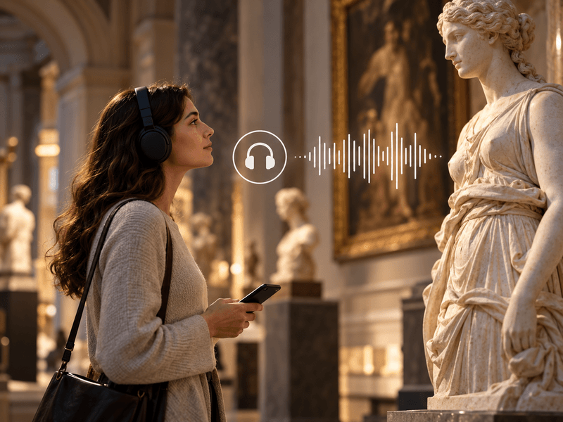
Add your own recordings to any object or generate them in one of 33 supported languages.
Explore the details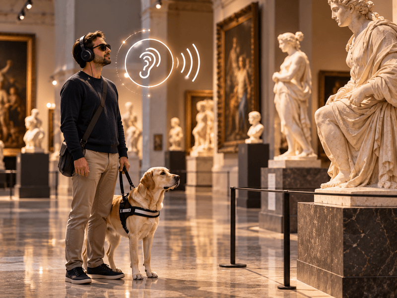
Your own recordings or recordings generated in one of 33 languages to describe the visual features of an object.
Explore the details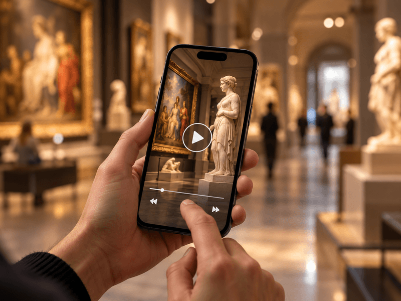
Embed videos from YouTube or Vimeo, or your own MP4 files, alongside objects, rooms and routes.
Explore the details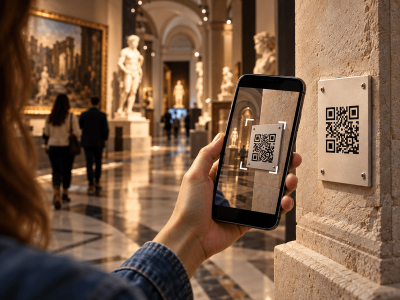
Visitors scan a QR code with their phone camera and immediately open a web page describing the object.
Explore the details
Translate content into as many as 33 languages. Prepare your own translations or use an AI tool with review.
Explore the details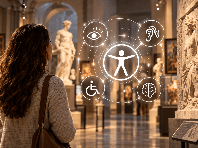
Digital guides accessible to everyone. Adjustable text size, high contrast, light and dark modes, and audio descriptions.
Explore the details
We offer comprehensive system deployment on QRator.space servers or the client’s server, always with a secure SSL connection.
Explore the details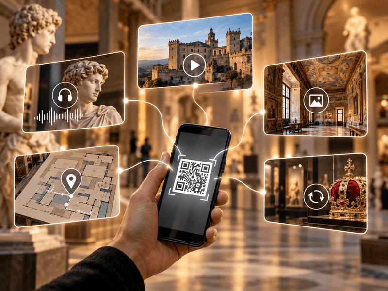
Create and customise dynamic QR codes for exhibitions, rooms, categories and objects. Export them as PDF or SVG files and direct visitors to content in their own language.
Explore the details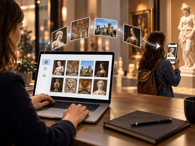
We provide a comprehensive tool or help with entering descriptions, preparing translations, audio guides and audio descriptions.
Explore the details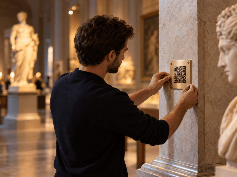
We prepare, print and install QR codes and descriptions of objects, choosing materials suitable for the display location.
Explore the details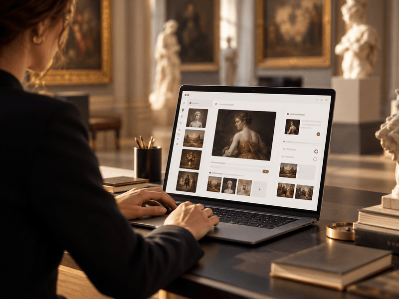
We provide a panel for managing exhibitions, rooms, routes, objects, media, translations and QR-code generation.
Explore the details